Save
Save Key facts at a glance
- Era
- 8th to 9th century CE
- Tradition
- Hindu (Shaivite period), not Buddhist
- Grouping
- Part of the Sengi temple complex
- Setting
- Between Mount Merapi and Mount Merbabu
- Nearby temples
- Asu, Lumbung and Pendem, near Tlatar village
- Footprint
- An external wall forms the base over an inner wall foundation
- Nearest reference point
- A few hundred metres from Tlatar village, Sawangan district
- Visitor facilities
- None on site. Local drivers detour on request
Figures change without notice — treat this as a planning summary and confirm against the sources listed below.
Most Magelang itineraries are built on a single line of temples. Mendut, Pawon and Borobudur sit in a straight row about 3 km long, and almost every plan you will read arranges itself around that line. Candi Asu is not on it. It is roughly 30 km to the north, in Sawangan district, in the country between Mount Merapi and Mount Merbabu, and it belongs to a different grouping entirely: the Sengi temple complex.
That single fact explains most of what follows. It is why almost no itinerary includes it, why there is no ticketing, and why the standard sources describe it in a few sentences rather than a chapter. What it does not explain is why the surviving masonry is genuinely worth standing in front of.
What Is Actually There
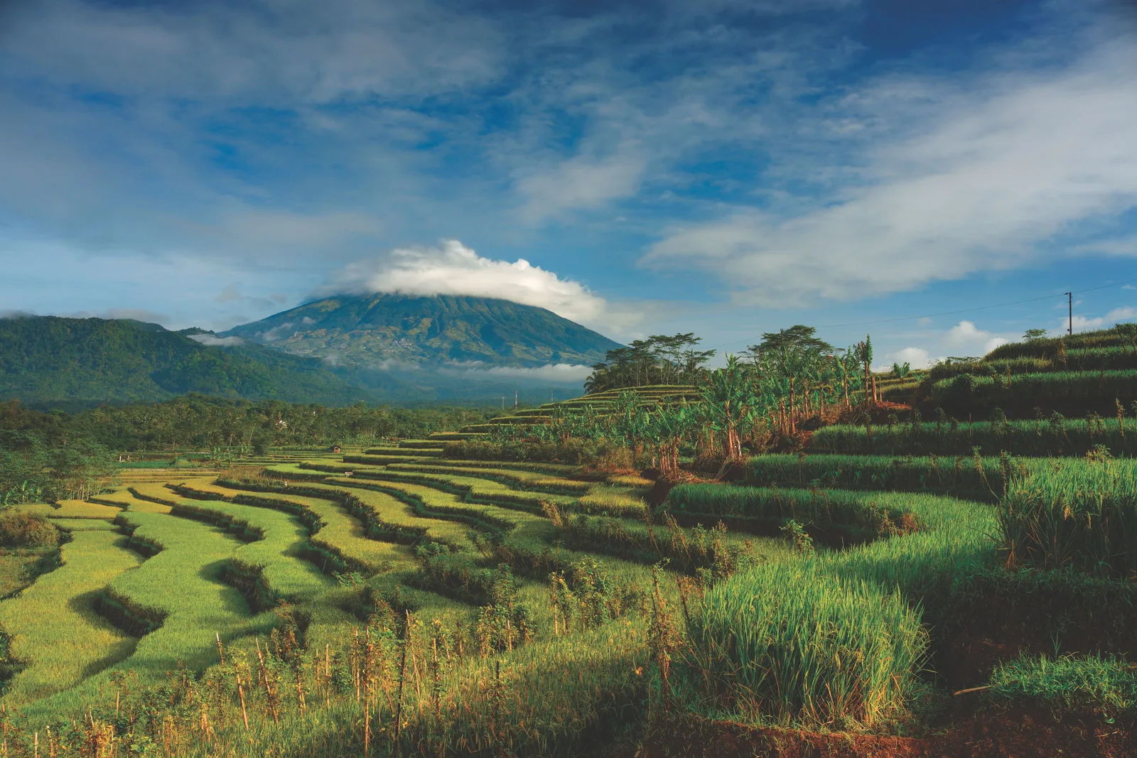
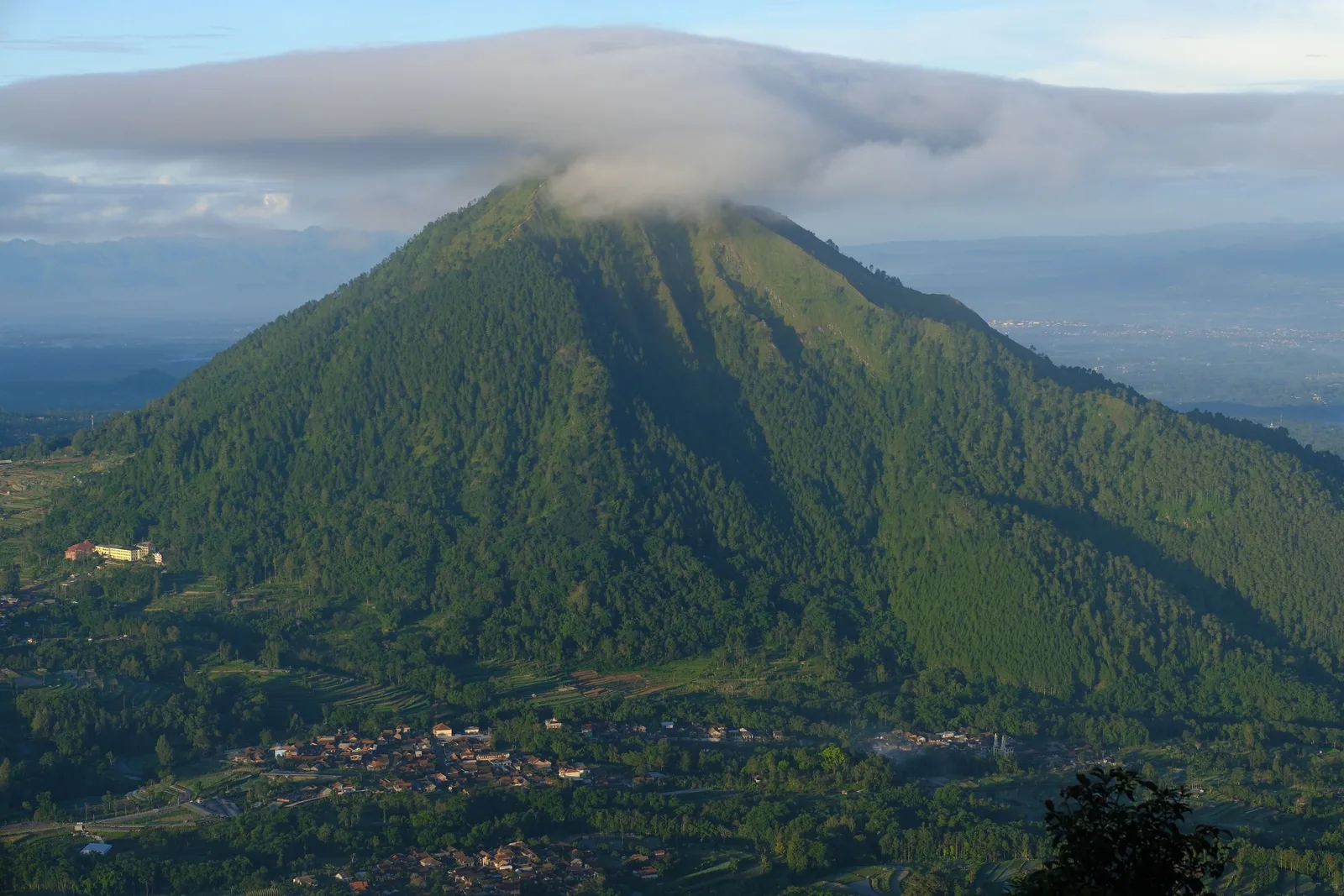
The temple dates from the 8th to 9th century CE and is Hindu, not Buddhist. It sits at roughly 7°32′S 110°21′E, in Magelang Regency in Central Java, in the highland ground between the flanks of Merapi to the south and Merbabu to the north, close to the road running from Mungkid towards Boyolali.
The detail worth travelling for is the construction of the base. An external wall forms the base of the structure, and an internal wall acts as its foundation, carrying it. This staged wall construction is visible in the lower courses of what remains, and it is what lets you read the plan of the building even though the upper parts have gone.
Asu is normally referred to as part of the Sengi complex. Two further temples sit in the same immediate area: Lumbung Sengi, also dated to the 8th to 9th century, in the Sengi area of Sawangan, and Pendem. All three of the Tlatar group — Asu, Lumbung and Pendem — sit within a few hundred metres of the village of Tlatar, and local drivers will detour to them on request.
Why Almost Nobody Comes Here
It is worth being direct about the reasons, because they are a good illustration of how tourism attention works.
There is no name recognition, so it is in no guidebook’s headline list. There is no ticket office, no entrance fee of consequence, no signage, no parking, no shelter and no staff. And the stone is no longer intact, so there is no dramatic silhouette to photograph. A traveller with two days and a shortlist will spend both days on the temple axis, which is entirely rational.
There is a conservation argument for the second half of that. Sites without visitor pressure receive only what the local community can manage. Candi Asu’s double-wall base is legible and structurally interesting, and it is still legible. A visible, well-tended ruin that a handful of visitors respect is in better condition than a heavily trafficked one. That is a reason to treat a quiet site carefully, not a reason to feel you are trespassing.
Getting There, and Fitting It In
Plan this as part of a northern highland day rather than as a destination in itself. The natural pairing is the Ketep Pass guide, roughly 30 km north of Magelang city, which shares the same Merapi and Merbabu geography and has the volcano museum as its reliable draw. If the clouds close in at Ketep, a temple stop is exactly the right substitute.
The other northern temples fit the same drive. Candi Gunung Wukir, the site dated by its inscription to 732 AD and therefore the earliest temple in Indonesia tied to a dated record, is reached from the Kali Krasak bridge, and it works in ordinary weather when a viewpoint does not. Candi Selogriyo sits on the lower slopes of Mount Sumbing to the northwest, with terraced paddies on the approach and four Hindu deity figures to look for.
Two practical notes. First, there is nothing on site, so you need your own water, sun protection and footwear with grip, and you should expect to stand in an open field. Second, treat this as an exterior visit: the base is uneven andesite, and climbing into the ruin to look at the inner wall is not a good idea. If a farmer offers to show you something beyond the public margin, that is generous, and it is worth accepting with an open hand.
Sustainable Tip
Visiting a site with no facilities means everything you need is on your back. Carry your own water, stay on the field margin rather than walking out into the working paddies, and take your rubbish with you.
Family Tip
This works for a family only as a short, low-effort stop on a longer northern drive. There is no shade, no seating and nothing to climb, so give it fifteen minutes and keep the good part of the day for Ketep Pass or the museum.
Frequently asked questions
Is Candi Asu on the Borobudur temple axis?
No. Mendut, Pawon and Borobudur form one straight east-west axis about 3 km long. Asu sits roughly 30 km north of that axis, in Sawangan district, close to the road that runs from Mungkid towards Boyolali. Confusing the two is the most common error in short online write-ups about this temple.
Why does Candi Asu get so few visitors?
Three reasons compound. It has no name recognition, no ticket office, no signage and no facilities of any kind, so it appears in no itinerary. It is also a Hindu rather than Buddhist site, which puts it outside the frame most Borobudur-focused guides use. And the stones are no longer intact, so there is nothing visually dramatic to photograph.
Can I actually get inside Candi Asu?
Do not plan around going inside. What survives is the base structure, and a double-wall construction is a detail visible from outside. Treat it as an exterior visit, keep your footing on uneven andesite, and do not attempt to climb or enter sections of the ruin.
What does the double-wall construction mean?
The surviving base is built with an outer wall sitting on top of an inner wall that acts as a foundation. This staged or concentric wall construction is what makes the site structurally interesting, and it is visible in the lower courses. It is also one of the reasons the ruin survives in a readable form at all.
Is it safe to visit, given it is between two volcanoes?
It is a ruin in farmland, not a hiking objective, and the main practical risks are slippery stone and heat. The volcanic hazard picture for this whole area is covered in the Ketep Pass guide, and official BMKG and MAGMA data should take precedence over any travel plan. Note that Kali Krasak, a river named in Merapi hazard zones, is also the landmark drivers use to reach Candi Gunung Wukir nearby.
What else can I combine with Candi Asu in one trip?
Ketep Pass and its volcano museum are close, as is the Tlatar group of temples. Candi Gunung Wukir, the temple dated by an inscription to 732 AD, is reachable from the same northern area via the Kali Krasak bridge. Together these make a coherent northern highland day rather than a series of unrelated stops.
Do I need a guide or permit?
No guide, permit or ticket is required, because there is nothing to run. The realistic expectation is that you are standing in a field near a ruined temple with a local farmer who has lived beside it their whole life. Approach accordingly, ask before entering any private land, and pay any nominal local fee in cash without haggling.
Why is Candi Asu not better documented?
Because compared with the better-known candi in the regency it has no inscription, no continuous excavation record and no named patron, and the standard historical narratives of Central Java are built around sites that do. Wikipedia summarises the temple in a few sentences from coordinates and a description of the wall structure. That is the honest state of knowledge, and it is why this guide says less about its purpose than about its architecture and setting.
Tourism information — including opening hours, entrance fees, and transport routes — may change. Please verify with official local sources before planning your visit.
Sources and further checks
Use these primary or specialist sources to confirm current access rules, safety notices, and travel arrangements.

About the Author
Larasati Wulandari
Independent travel writer · Central Java, Indonesia
Larasati Wulandari is an independent travel writer who has lived in Central Java for eight years. She writes first-hand, practical guides to Magelang's temples, viewpoints, and local food, and reviews them regularly as conditions change.